
Lehigh County ZIP Code Coverage
The City of Allentown’s County GIS layer returns 35 ZIP and label intersections. Its date is November 9, 2011, so this is a spatial coverage inventory rather than a current delivery guide, city-limit map, or exclusive post-office territory. The area column preserves the layer label. The post-office column does not invent a facility where the GIS source gives none. Use the notes before drawing a county or municipal conclusion from a postal label.
| ZIP | Area label in County layer | Post office | County research note |
|---|---|---|---|
| 19539 | Mertztown | Not stated by layer | Keep both ZIP and label; confirm a delivery address with USPS. |
| 18011 | Alburtis | Not stated by layer | Spatial county overlap, not a municipal-boundary assertion. |
| 19530 | Kutztown | Not stated by layer | Spatial county overlap; do not assume the label is wholly within Lehigh County. |
| 19529 | Kempton | Not stated by layer | Retain as a historic or current mailing clue only after address confirmation. |
| 18066 | New Tripoli | Not stated by layer | Use PIN and municipality alongside ZIP. |
| 18049 | Emmaus | Not stated by layer | Compare City or borough wording to mapped jurisdiction. |
| 18104 | Allentown | Not stated by layer | A postal label does not by itself prove City of Allentown jurisdiction. |
| 18053 | Germansville | Not stated by layer | Confirm a particular site through PIN and USPS. |
| 18015 | Fountain Hill | Not stated by layer | Cross-county and multi-municipality caution applies. |
| 18103 | Allentown | Not stated by layer | Retain directional and street detail; ZIP has no automatic neighborhood meaning. |
| 18017 | Bethlehem | Not stated by layer | Confirm the County and municipality; Bethlehem-area labels can span local jurisdictions. |
| 18018 | Bethlehem | Not stated by layer | Same cross-jurisdiction caution. |
| 18037 | Coplay | Not stated by layer | Use the County parcel or GIS result as the location anchor. |
| 18032 | Catasauqua | Not stated by layer | Compare historic map and date rather than assuming current postal geography. |
| 18109 | Allentown | Not stated by layer | Treat as a mailing label until parcel and municipality are confirmed. |
| 18052 | Whitehall | Not stated by layer | Keep municipality code and ZIP in the research note. |
| 18046 | East Texas | Not stated by layer | Do not convert a post-office label into a borough or township conclusion. |
| 18031 | Breinigsville | Not stated by layer | Confirm address with USPS and County GIS. |
| 18195 | Allentown | Not stated by layer | The map includes it; do not infer its service type or boundary without USPS confirmation. |
| 18106 | Allentown | Not stated by layer | Check the complete address, including suffix and unit. |
| 18951 | Quakertown | Not stated by layer | Layer overlap only; verify County, PIN, and address. |
| 18041 | East Greenville | Not stated by layer | Spatial overlap only; do not make an exclusive-county claim. |
| 18059 | Laurys Station | Not stated by layer | Preserve source spelling and ZIP. |
| 18062 | Macungie | Not stated by layer | Pair with municipality code and historic directory wording where relevant. |
| 18087 | Trexlertown | Not stated by layer | Do not treat postal label as a municipal name. |
| 18101 | Allentown | Not stated by layer | City label must be checked against actual municipal geography. |
| 18102 | Allentown | Not stated by layer | Useful in library and City contact addresses, not territorial proof. |
| 18079 | Slatedale | Not stated by layer | Confirm individual delivery site. |
| 18051 | Fogelsville | Not stated by layer | Retain County GIS city and ZIP components separately. |
| 18069 | Orefield | Not stated by layer | Address and PIN first; postal label second. |
| 18092 | Zionsville | Not stated by layer | Verify the exact delivery address. |
| 18080 | Slatington | Not stated by layer | Historical map and directory area may be useful for older research. |
| 18078 | Schnecksville | Not stated by layer | Do not infer current municipal boundary. |
| 18034 | Center Valley | Not stated by layer | Verify city, municipality, and County combination. |
| 18036 | Coopersburg | Not stated by layer | Check parcel municipality and postal address separately. |
The City GIS ZIP layer is the source for this dated spatial inventory.
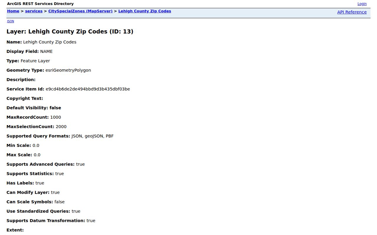
The layer is useful for comparing labels across Lehigh County, while a USPS check remains the final test for an individual delivery address.
Lehigh County ZIP Verification
Use the USPS ZIP Lookup with the full delivery address before beginning County research. It is the right final check for a mailing ZIP and preferred delivery wording. It does not identify an assessed parcel, define a municipal boundary, or decide which recorder has an instrument. Keep the USPS result with the original address rather than overwriting a historic spelling or a County situs line.
The official USPS address lookup provides the delivery check used before a Lehigh County postal search.
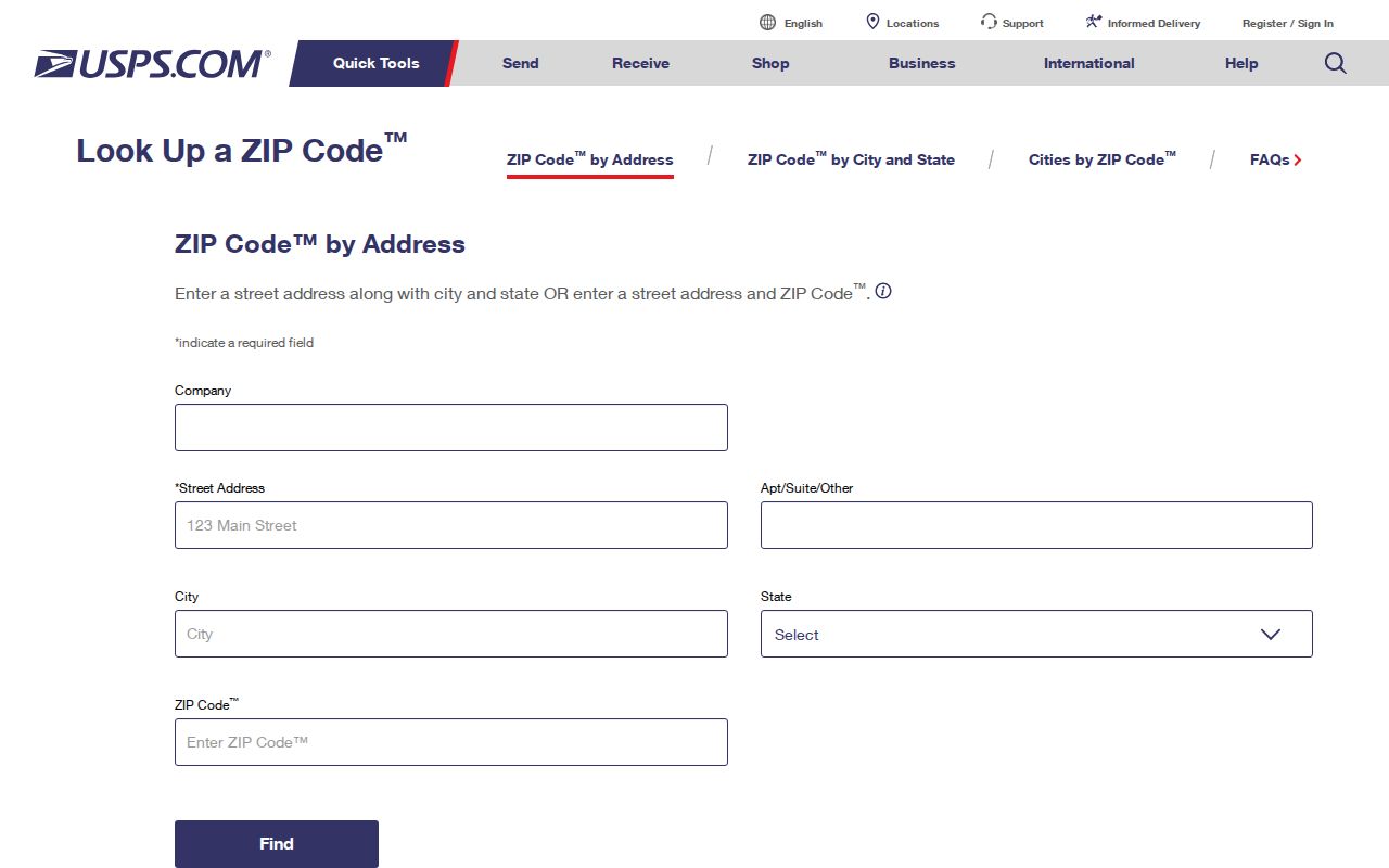
After USPS confirms the mailing form, use the normalized street wording with the County’s address and parcel tools.
Lehigh County ZIP Code Search
A ZIP narrows an address question, but it does not supply a ZIP-wide directory of people. The County’s public tools are designed for a particular address or parcel. Use the postal check to confirm the delivery form, then move from that confirmed address to the specific record system that can answer the remaining property or document question.
- Verify the full mailing address and ZIP with USPS, retaining the returned delivery wording and the date checked.
- Separate the mailing city and ZIP from the mapped municipality, then preserve the full street number, direction, suffix, and unit.
- Enter that normalized street address in the County Property Search to obtain a PIN or document lead where a match exists.
- Use the Parcel Viewer to check the site address, municipality, and parcel context, not to browse every address in a ZIP.
- Take a document identifier to the Recorder route when the question concerns a recorded instrument or legal description.
Once a ZIP has narrowed the place, the Lehigh County street directory gives the address-to-parcel and Recorder sequence without treating the postal code as a resident list.
Lehigh County Portal Fields
The inspected County Property Search confirms its limitation plainly: ZIP is not one of its public selector choices. The Property Search offers Address, Parcel Identification (PIN), and Document ID/Instrument Number with a CAPTCHA and four-character minimum. The field table is useful because it prevents a false instruction to begin a County property query with a ZIP.
| Public field | Search use | ZIP conclusion |
|---|---|---|
| Address | Normalized property address | Use after USPS confirms the complete address; no ZIP-only mode. |
| Parcel Identification (PIN) | Known parcel identifier | PIN is the parcel bridge, not a ZIP filter. |
| Document ID/Instrument Number | Known recording identifier | Follow a known document, not a postal geography search. |
The official Property Search screen shows the three public modes and their address-oriented entry point.
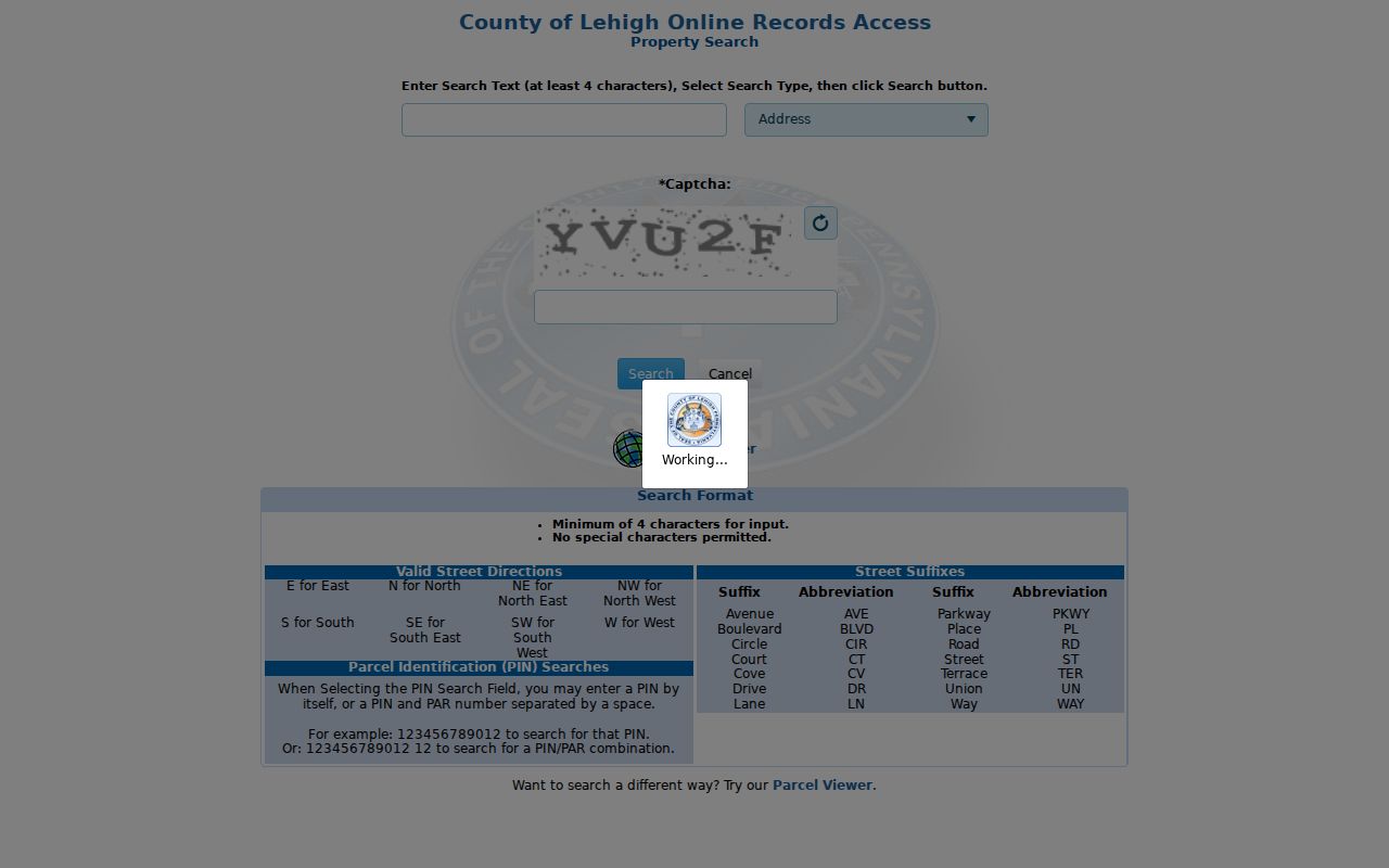
PropertySearch is therefore a second step after postal verification, not a tool for producing countywide results from one postal area.
Lehigh County Parcel Geography
The Parcel Viewer supports address or place, PIN, and Assessment Address searches. It can display a parcel’s site address and city/ZIP components, but the inspected viewer does not document a ZIP-wide public browse. Its underlying parcel service contains fields for situs ZIP, municipality code, street parts, and geometry. Those are useful for checking one matched parcel, not for turning a geographic field into a person directory.
For the strongest local record, retain the full situs line, mailing city/ZIP, municipality code, PIN, query date, and any legal-description reference separately. County guidance says an assessment address must match a document for certification, subject to stated exceptions, and calls for ZIP detail when city or town wording differs from the municipality.
Lehigh County ZIP Boundaries
Postal boundaries do not establish City limits, Recorder coverage, court jurisdiction, or a parcel’s legal identity. A postal Allentown label can cross local municipal labels, while a county-layer intersection can extend beyond the County. The Recorder of Deeds Division serves Lehigh County records based on the record and property context, not on a postal routing boundary. Use a current USPS check for delivery and the County PIN, municipality, and legal description for property research.
- ZIP
- A Postal Service routing area used with a delivery address; it is not a municipal or parcel boundary.
- ZIP+4
- An added four-digit delivery detail used with a ZIP to refine mail routing for a specific address or delivery point.
- PO-box ZIP
- A ZIP used for post-office box delivery. The County layer alone does not establish that a listed ZIP has this service type.
- Unique ZIP
- A ZIP assigned for a particular organization or delivery arrangement. Do not infer that category from the County GIS layer.
- Carrier route
- A postal delivery sequence within a ZIP area, not a property-record or court-jurisdiction boundary.
Lehigh County Postal Labels
Historic records need their own geography. Allentown directories begin in 1860, while ZIPs are a later postal system. An 1889 directory’s post-office address does not have a missing modern ZIP. For older material, keep the original locality or post-office wording, compare it with the dated map and deed description, then add a current USPS result only as a separate modern note. This avoids silently replacing a historic place name with a current postal label.
Local maps and directories may help reconcile a dated address, but an unresolved historic-to-modern match remains unverified. No official countywide chronology of ZIP splits, realignments, or crosswalks from every historic post-office label to today’s ZIPs was found in the reviewed material.
Lehigh County ZIP Privacy
A mailing ZIP does not establish who is at a site. The County’s parcel context keeps situs and mail fields distinct, and an assessment correspondence line should not be read as a current household finding. The Pennsylvania Address Confidentiality Program can give eligible participants an alternate address in listed state and local records. A substitute address, redaction, or absence from a result is a safety protection.
Postal limit. Use a ZIP to verify a delivery address and route a narrow records question. Do not use a postal label to target, harass, or harm anyone.
Lehigh County Recorder Scope
When a confirmed parcel leads to a recorded document, use the Recorder of Deeds Division and the document identifier rather than a ZIP. County records date from 1812, and the County describes Russell Index coverage for 1812 through 1983 with LANDEX/Russell-book access from 1812 to present for ORA subscribers. Books continued through April 19, 2002, with computer images beginning April 22, 2002.
Record a document number, date, parties, legal description, and PIN/PARNUM from the actual instrument. Those details provide a reproducible document trail; the ZIP only helps preserve the mailing form of the address.
Lehigh County ZIP Limits
A county layer is not proof of current postal eligibility, and a current USPS result is not proof of a County parcel or municipal jurisdiction. Recheck USPS for a live delivery question, retain the ZIP layer’s 2011 date for its spatial context, and use the County Property Search, Parcel Viewer, and Recorder for the property trail. That division of tasks keeps the postal directory accurate without promising more than the records can support.
Note: The County GIS layer is a useful postal-geography clue, but it should never be used as a stand-alone boundary decision.